Global geospatial data to support your energy transition goals
Written by: Francis Cram

Transforming the global energy sector.
Background
COP26 aims to secure global net-zero carbon emissions by 2050. The energy transition is a pathway toward transforming the global energy sector from fossil-based systems of energy production to renewable energy sources by the middle of the century. The goal of the energy transition is to reduce energy-related CO2 emissions and limit climate change.
Countries around the world are setting ambitious carbon reduction targets to meet their net-zero commitments. If we take the UK as an example, the government has pledged to slash carbon emissions by 78% by 2035 through decarbonisation.
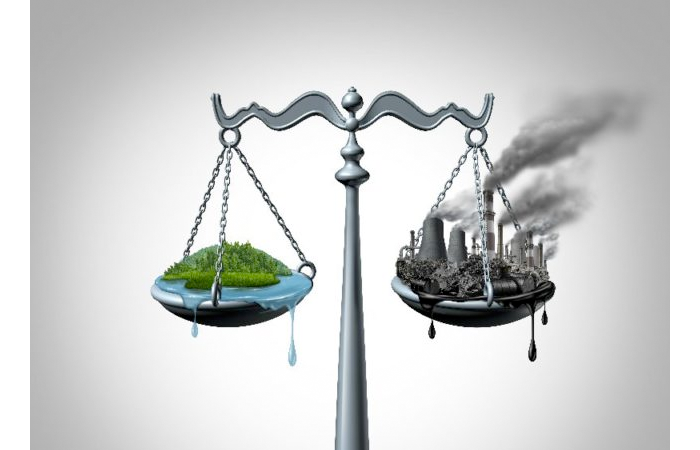
Fossil-based to renewable-based.
Challenge
The goal of the energy transition is to reduce energy-related greenhouse gases through various forms of decarbonisation. Energy transition aims to move from fossil-based courses of energy production and consumption - including oil and coal - to renewable energy sources like solar and wind.
Many energy producers are already taking steps to reduce CO2 emissions through decarbonisation measures such as platform electrification or CCUS. However, there is still a long way to go to meet environmental targets. Decarbonisation roadmaps are often complex and require a significant financial investment.
Shift to sustainable energy sources.
Solution
Renewable energy transition will play a vital role in transforming the energy sector and achieving net-zero targets by 2050. Energy producers must assess their existing operations and identify decarbonisation opportunities to reduce CO2 emissions.
Decarbonisation targets are being achieved by shifting towards sustainable energy sources such as wind and solar power.
Geospatial data to support your energy transition goals
MapStand
So how can MapStand support your energy transition goals?
MapStand is a GIS data provider on a mission to disrupt the traditional (and costly) geospatial data market. Our datasets can help everyone - from individuals to integrated energy companies - gain a complete overview of the energy sector through global mapping datasets.
We utilise the latest technology and automation, crowd-sourcing, and relationships with government agencies to get data to the end-user - and we pass the cost savings on to you!
Our real-time data will help you navigate energy transition and make sustainable business decisions, while minimising data subscription costs.
MapStand offers a single source of geospatial data.
MapStand is a fully cloud-hosted data provider. We offer a free web-hosted platform that allows anyone to view geotagged E&P news and data through a laptop, mobile or tablet. Following our most recent update, we now have almost 40 data layers covering planned and current activities.
Visit our open platform and view our datasets for free at app.mapstand.com
Our datasets are built through the aggregation of 1000s of data sources and show the location of oil and gas activities, renewables and energy infrastructure in a single, fully integrated global database.

Gain a complete overview of the global energy sector
MapStand’s geospatial intelligence is being used by companies across the energy sector - from renewable and integrated energy companies to oil and gas producers - to understand and analyse the energy industry.
Our global datasets allow you to track changes and gain a complete overview of the global energy industry as it evolves.
What sets MapStand’s data services apart?
- Frequency: Our datasets are updated multiple times a day.
- Transparency: Data source and quality are tagged against individual records.
- Accessibility: Stream our data straight into your own systems. Multiple download options ranging from Shapefile, Geojson, Excel, CSV, WMS, WFS and more.
- GIS Replacement: Create online maps, dashboards and upload your own layers using the online mapping functionality within the MapStand Hub.
- Licensing: Perpetual license. Keep the data forever - even after the subscription ends.
- Pricing: Great value datasets.
Users of our Enterprise and Hub subscriptions get access to our commercial DaaS (data as a service). This provides E&P data through APIs and allows users to stream layers directly into their own GIS environment, enabling further analysis at a significantly reduced cost to traditional vendors.

MapStand’s cloud-hosted platform can lead to significant cost savings for businesses. Our cloud-hosted web application is continually updated by our expert team of developers and improvements are rolled out seamlessly without any downtime on the end-user to upgrade.
Our datasets are automatically updated twice a day from trustworthy sources, meaning our users always have access to the latest geospatial data from anywhere in the world.
Start accessing geospatial energy data today!
Create an account on our MapStand Community if you would like to start accessing geospatial energy data or talk to one of our experts to find out how MapStand can help you navigate energy transition and keep data subscription costs low.
Ready to get started?
Create an account on our MapStand Community or talk to our experts