
We're really excited to share a fantastic client use case with you that showcases the power of our geospatial data in action.
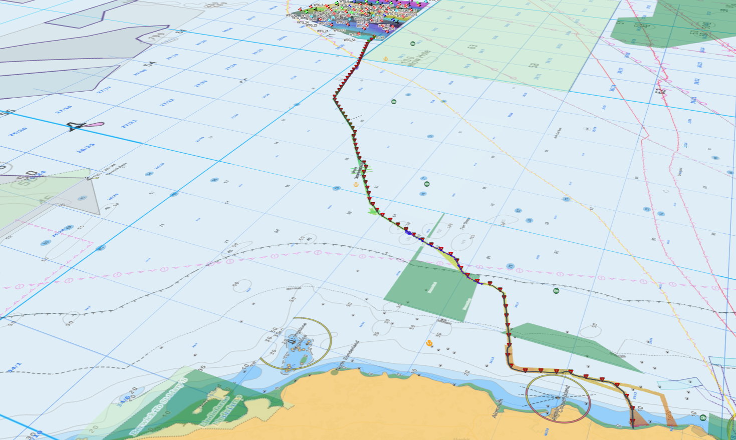
We supported Vysus Group’s “IRIS Platform”, a comprehensive web-mapping tool designed to streamline the management of offshore wind farm and cable installation projects for a diverse range of clients.
Discover how Vysus Group utilised MapStand’s integrated datasets to show a complete view of existing and planned infrastructure to support their operations and projects.
Did you know that our data can be used within clients' platforms? If you'd like to explore how to use MapStand data in your platform, get in touch with us..png?width=1200&height=627&name=MapStand%20case%20study%20LinkedIn%20graphic%20(3).png)
.png?width=1200&height=627&name=MapStand%20case%20study%20LinkedIn%20graphic%20(1).png) If you'd like to discuss how we can support you with projects in 2025 and beyond, we'd love to hear from you. You can contact us here.
If you'd like to discuss how we can support you with projects in 2025 and beyond, we'd love to hear from you. You can contact us here.
Thanks for reading. Speak to you soon!
Francis and the MapStand team